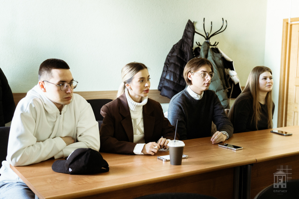
 Seminar participants
On 20–21 February, the SPbGASU Department of Geodesy, Land Management and Cadastre held the National (All-Russian) scientific and practical seminar “Current issues of land management, cadastres and geodesy”. It was attended by more than 50 bachelor's, master's and PhD students and young scientists from different cities of Russia.
"The reports were devoted to developments in the field of cadastral and market assessment, law enforcement practice of implementing current legislative norms in terms of clarifying the boundaries of land plots. These topics are very relevant in connection with the need to improve regulation in this area. In addition, we presented the interim results of one of the projects within the framework of the SPbGASU "Startup as a Diploma" program: we are talking about the development of an automated system for ensuring cadastral activities," noted the Acting Head of the Department Yana Volkova.
SPbGASU student Daria Mineeva (fourth-year student in the field of Land Management and Cadastres) admits that she chose the topic of her report “Provision of land plots to preferential categories of citizens using the example of Chelyabinsk” not by chance.
"The topic is close to me because I am a native of this city and I know very well how sad the environmental situation is there, taking into account the impact of sanitary protection zones of industrial enterprises. Due to the large territories of these zones, the number of land plots for residential development is not increasing. According to the city administration, there are only 13 plots for 850 families. In order to find an opportunity to increase their number, I am developing a mechanism for providing plots, including a search for lands of undivided ownership, that is, without title documents. In a special information system on the map, I clearly marked the current boundaries of Chelyabinsk, noted the main enterprises with a high level of danger. Thus, you can get the location zones of these plots with one click. It became obvious that the territory allows you to increase the number of plots several times if you solve the labor-intensive issue of determining the location of sanitary zones according to modern requirements. In addition, in the system, citizens can check the characteristics and location of plots. The development will allow us to solve several problems at once: increase the number of sites and the quality of life of city residents, which, in turn, will lead to a decrease in the high level of morbidity,” explained Daria Mineeva.
.jpg "Вера Воронецкая (на переднем плане).jpg") Vera Voronetskaya (in the foreground)
Vera Voronetskaya (in the foreground) Vera Voronetskaya, a first-year PhD student at the Department of Land Management and Cadastre at the Saint Petersburg Mining University, presented her research on the topic of “Establishing a zone of negative environmental impact of a solid waste landfill on the human habitat for the purposes of individual real estate assessment.”
"The topic is relevant: landfills pollute the soil, ground and surface water, the atmosphere, and emit unpleasant odors. All these factors reduce the quality of the living environment, which entails losses for owners of real estate located near landfills. These losses must be taken into account. I propose developing a methodology for assessing the environmental impact of landfills in order to determine the zone of their negative impact, and then a methodology for calculating losses," Vera Voronetskaya said.
According to Yana Volkova, the exchange of relevant scientific and technical information and the identification of key trends in the industry became a good incentive for students to conduct independent research work in accordance with the topics proposed by representatives of the real sector of the economy.