Yana Volkova, Acting Head of the SPbGASU Department of Geodesy, Land Management and Cadastres, has developed a methodology for determining the area of capital construction projects. This new approach allows for the selection of a measurement method tailored to the specific characteristics of a given project, thereby balancing the required measurement accuracy with the associated costs.
Determining the area of a capital construction project can be subject to various errors. The result is influenced by both the methods and measuring instruments used and the specific characteristics of the building itself. For instance, walls may not be positioned at right angles; deviations occur in both the horizontal and vertical planes.
However, the actual geometry of the object is not always fully reflected in the technical documentation. On floor plans, spaces with complex shapes are typically simplified into more basic geometric forms. Consequently, discrepancies arising during measurements can affect the final area calculation.
The accuracy of determining this figure is of direct practical importance. Under Clause 61 of Article 26 of Federal Law No. 218-FZ, the difference between the area of a capital construction project specified in the building permit and the area stated in the technical plan must not exceed 5%. If the discrepancy exceeds this limit, the cadastral registration process may be suspended. Resolving the inconsistency requires amending the design documentation, which can delay the facility's commissioning.
To reduce the likelihood of such discrepancies, SPbGASU proposed an adaptive methodology. Its key feature is the selection of the method for determining the area based on the characteristics of the specific facility.
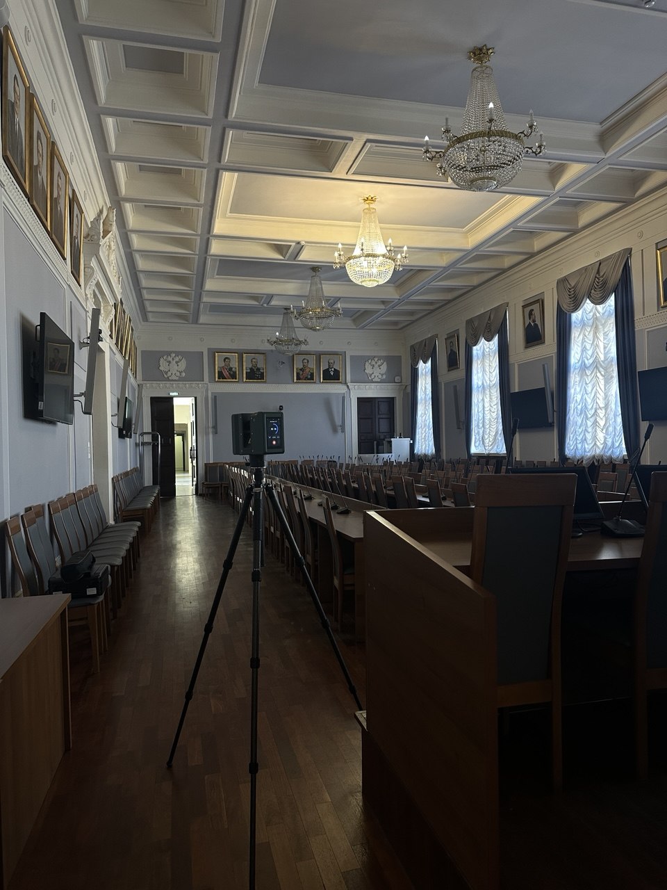
The study involved taking measurements using three methods: manual on-site measurement, terrestrial laser scanning, and LiDAR. Comparing the results made it possible to evaluate the capabilities of the various technologies and determine the most appropriate use case for each.
Thus, no single universal method is proposed for determining the area. The methodology allows for the selection of a technique based on the specific characteristics of the object, maintaining the required level of accuracy without unjustifiably increasing the cost of measurement work.
The area of a real estate property is one of the key characteristics determined during cadastral surveying. It directly influences factors such as the property's value and the amount of property tax, the size of state subsidies for purchasing housing on preferential terms, and the size of a land plot allocated in exchange for one acquired for state or municipal needs. This figure is also taken into account by authorized bodies when making decisions.
This development may be useful to real estate rights holders, developers, and specialists performing cadastral work.
The study was conducted as part of the 2026 grant competition for research projects by academic staff at SPbGASU, focusing on the topic "Methodology for Determining the Area of Capital Construction Objects."
.png)
.png)

.png)
.png)